
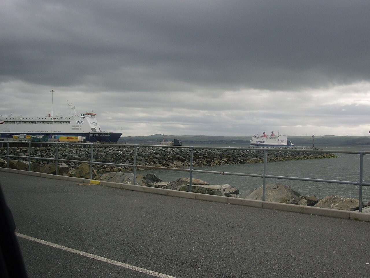
The waterfront at Stranraer makes more sense when you think of a port as a network. Ships required landing places, passengers needed onward travel, and goods had to pass between water and land. Looking at these connections explains more about the town than treating every harbour structure as an isolated landmark.
A sheltered loch and changing ships
Portpatrick's exposed harbour struggled with larger vessels and difficult weather, and Stranraer took over its role as the main Irish Sea crossing port. The official coast-path account sets this change in the context of Portpatrick's harbour and abandoned railway link. It is a useful reminder that a port's success depends on access and operating conditions as well as a short line across a map.
Avoid imagining a single unchanging ferry era. Different generations of ships, loading methods and travel habits make different demands on the shore. When comparing pictures, identify their dates before interpreting the number of vessels or the apparent size of a terminal.
Bring the railway into the picture
The nineteenth-century railway connection helped link the port with inland journeys. Dalbeattie Museum's account records the Castle Douglas–Stranraer line opening in 1861. On a modern map, notice the harbour railway station's relationship to the water and then compare it with a dated historic image.
Ask where a passenger would have changed between train and ship, and how luggage might have moved. Such questions turn a photograph into evidence about a journey. They also expose its limits: one view of a platform cannot establish every connection or the experience of every traveller.
Read the waterfront without entering working areas
From public places, look for the relationship between piers, roads, railway land and the town behind. Some spaces have changed purpose, while others remain operational. Keep clear of barriers and vehicle movements. You can understand the broad arrangement without following an old photograph into an area that is no longer open to visitors.
Keep today's crossing separate
Current Northern Ireland ferry travel uses Cairnryan. Stena Line identifies its departure point as Loch Ryan Port, with its own terminal address. Match your operator and destination to your booking before travelling. A historical stop in Stranraer should be planned around the transfer and check-in requirements of the actual terminal.
A couple of practical questions
Why do old photographs show ferries beside Stranraer?
They record an earlier phase of the port's operation. Note the photograph's date and distinguish that historic setting from the terminals used for a present-day booking.
Does an old harbour map show where I should check in now?
Use the ferry operator's current terminal directions. Historic maps are useful for understanding development, but old names and passenger entrances can persist long after travel arrangements have changed.

.jpg)
.jpg)